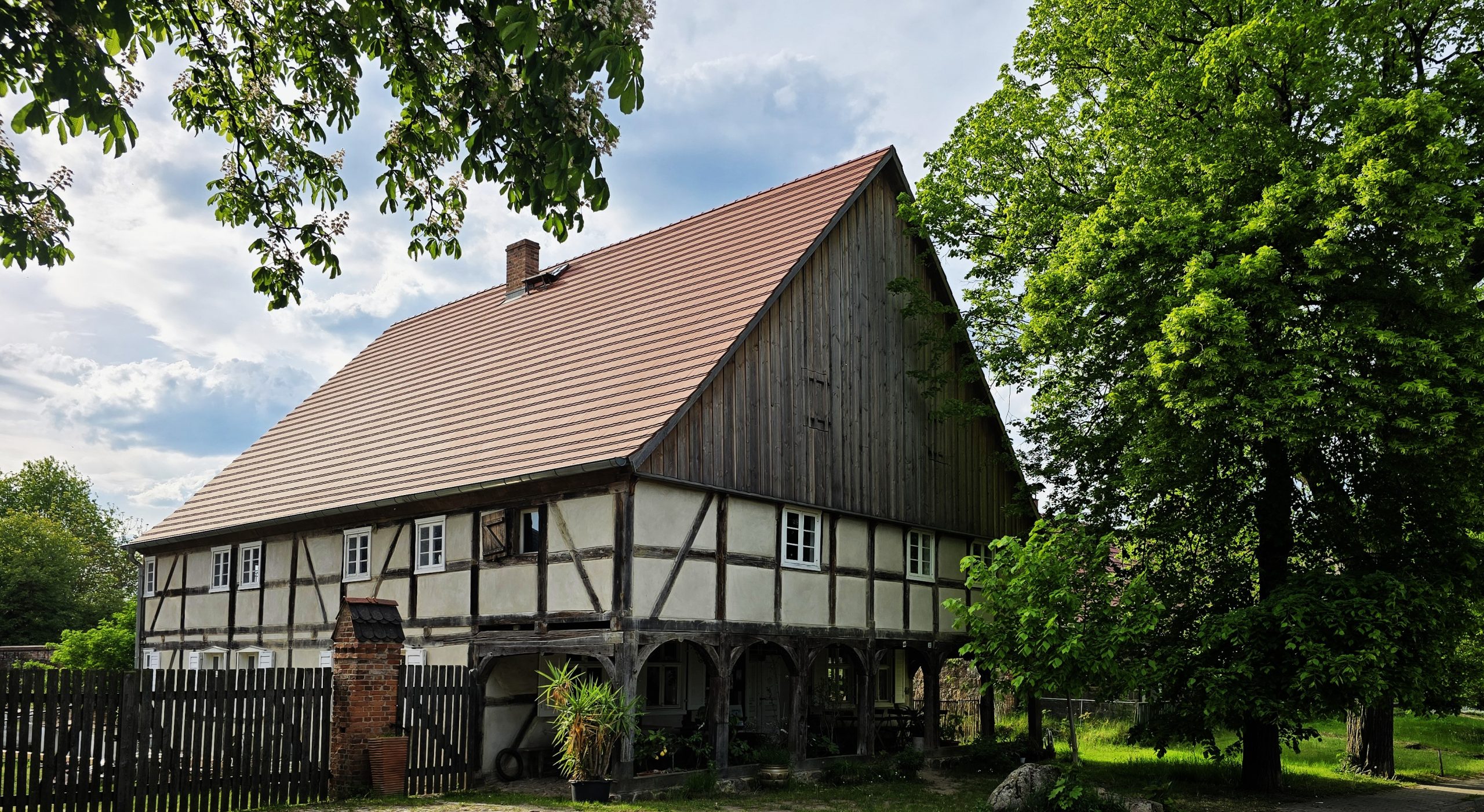
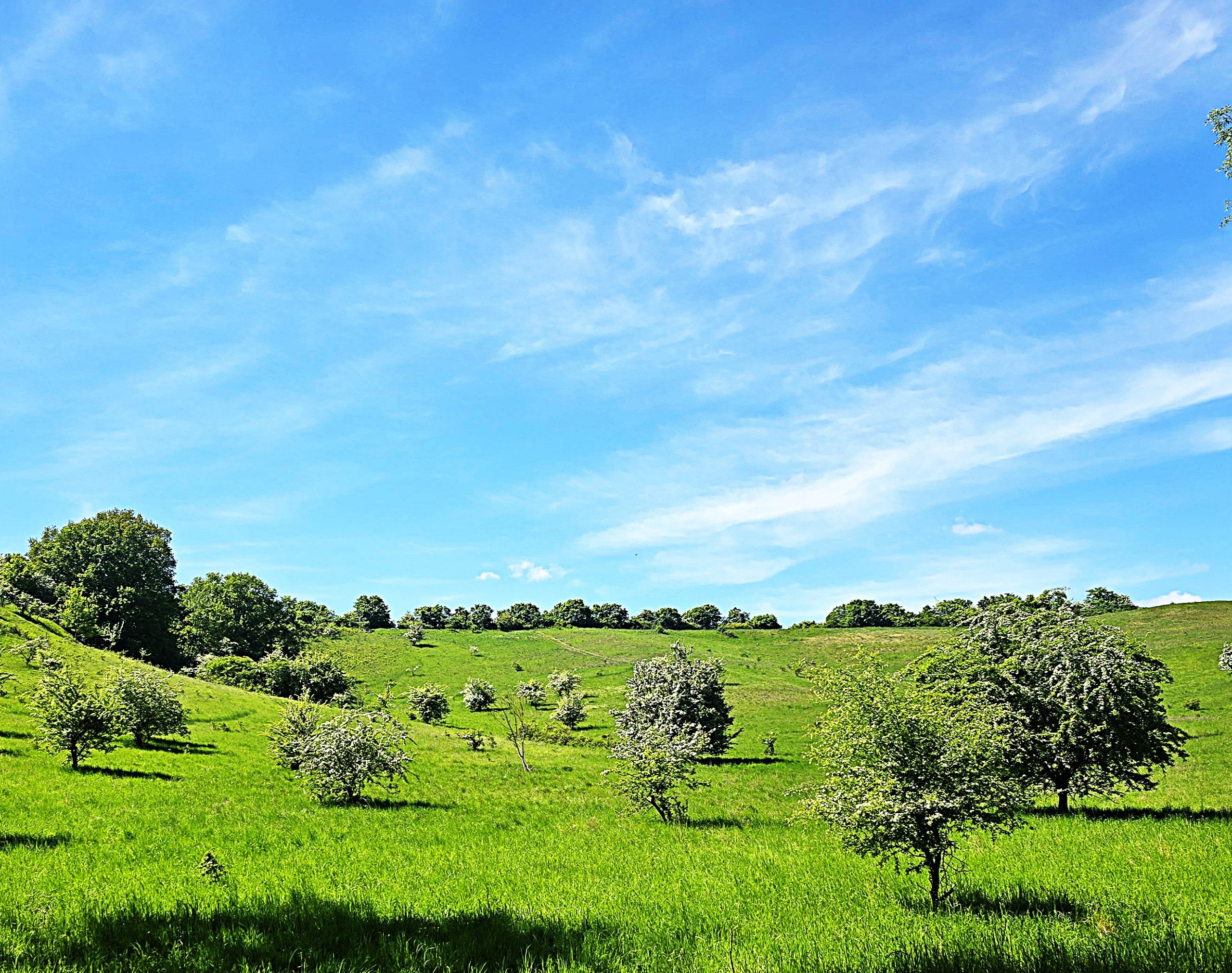
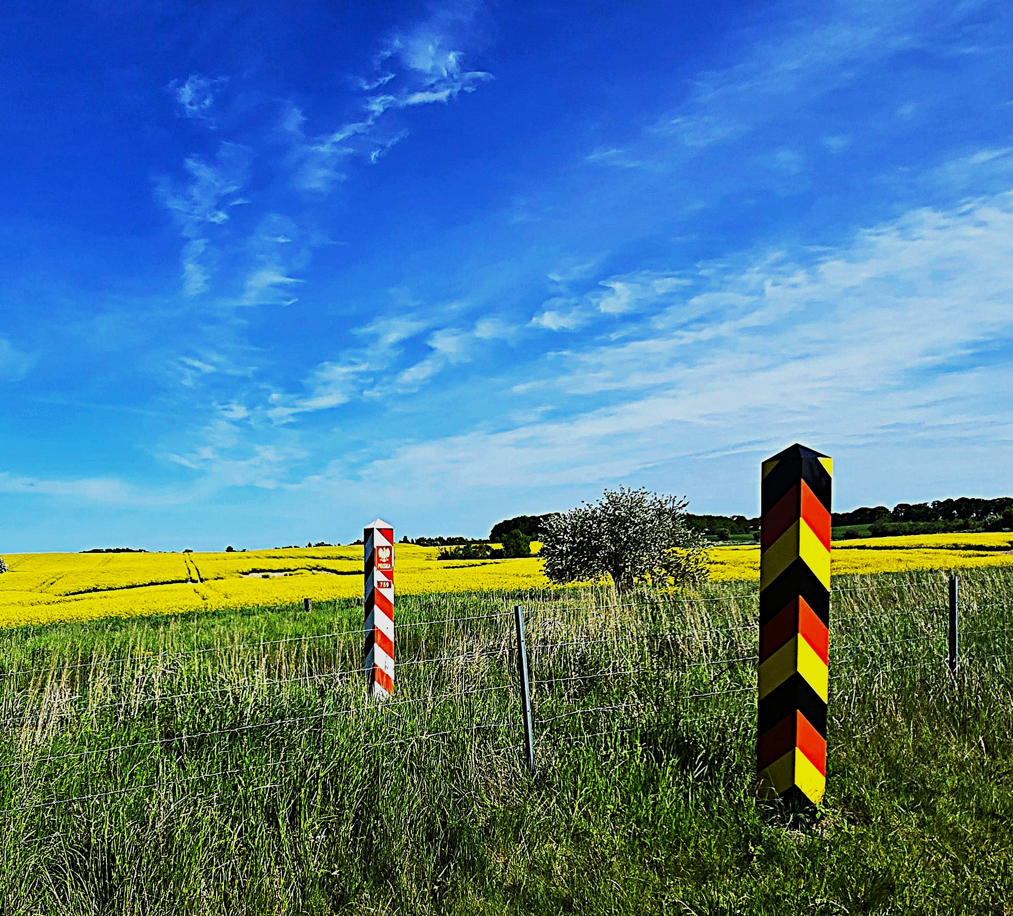
As part of a longer bike tour, I rode from Eberswalde to Schwedt. I hadn’t expected so many hills — there was a lot more climbing than I’d imagined. But once the bike path reached the Oder River (which forms the border between Germany and Poland), it felt like entering a fairy tale — and, thankfully, the hills were behind me.
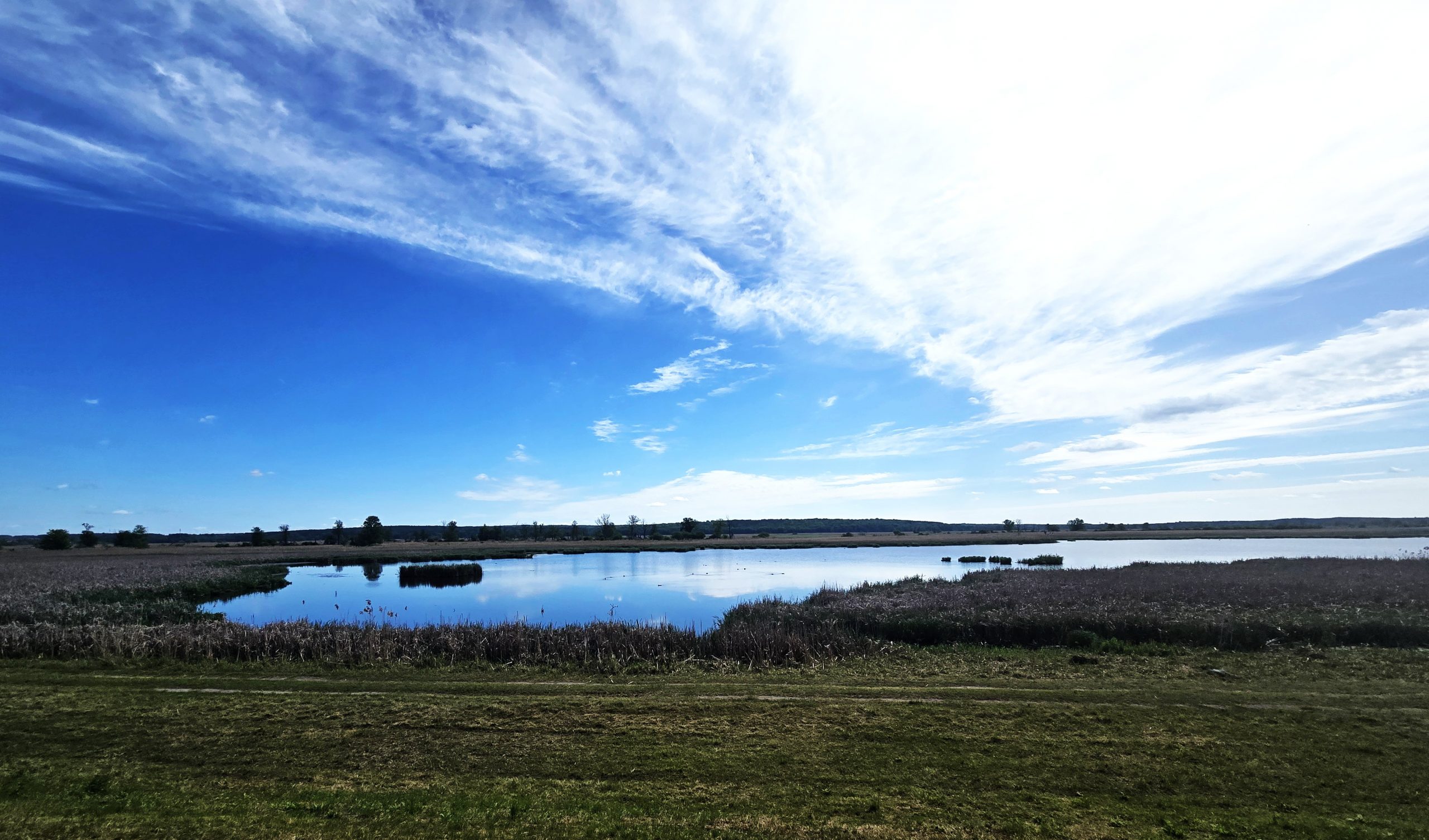
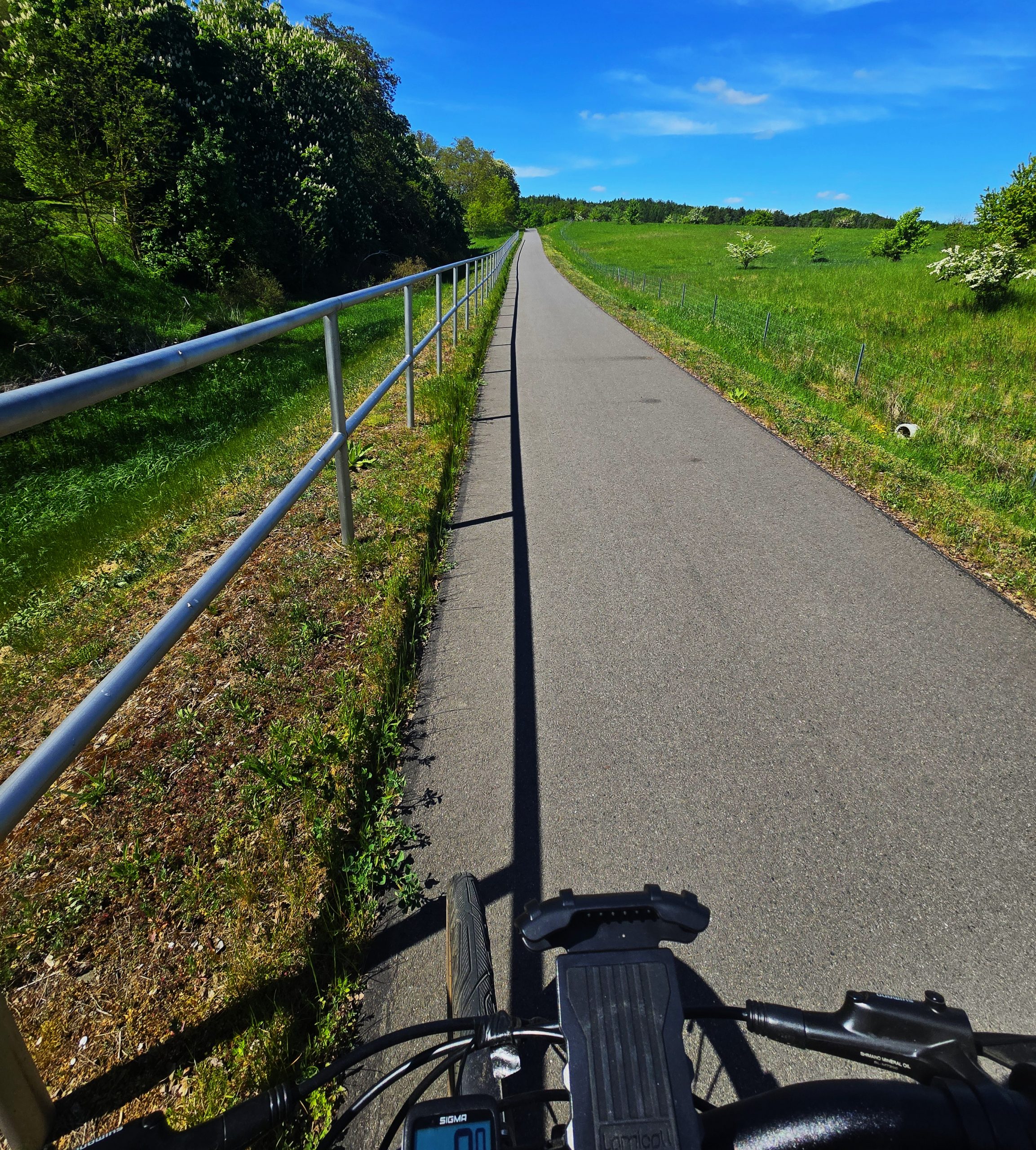
The stretch from the village of Stolzenhagen to the city of Schwedt runs along a polder — a strip of land between two dikes, originally a Dutch innovation designed for flood management. Most polders are found near the sea, but here in Brandenburg, they exist right next to the Oder River.
In this case, the first, lower dike runs along the river’s edge. A second, higher dike was built farther west. The land in between — the polder — serves an important function: it protects the villages beyond the second dike from flooding. In winter and spring, the locks in the first dike are opened, allowing water to flood the polder. In summer, when the river level drops, the locks are closed, and the land can be used for farming or grazing.
However, this area is now part of the Lower Oder Valley National Park (Nationalpark Unteres Odertal), a strictly protected environment. So, most of the agricultural activity has been phased out, and the polder — which stretches between 1-5 mi (2-8 km) wide, and around 40 mi (60 km) long — has been returned to nature.
The result is a wild, untouched landscape. No one interferes; everything grows, decays, and renews itself freely. Frogs croak by the thousands, birds of every color fill the air with sound and motion. It’s a place where nature moves at its own rhythm — unhurried, undisturbed, unquestioned.
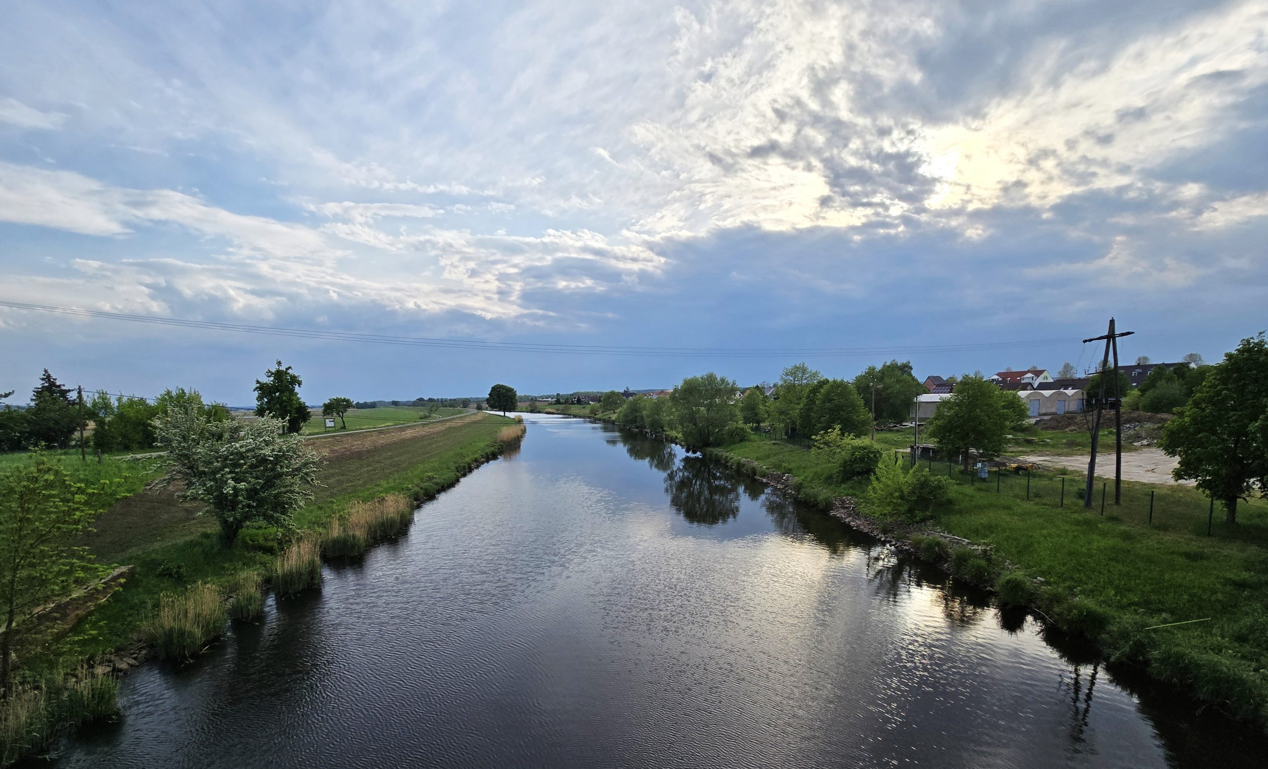
And one more thing: there’s a fantastic network of bike paths running right along the tops of the dikes.
Leave a Reply